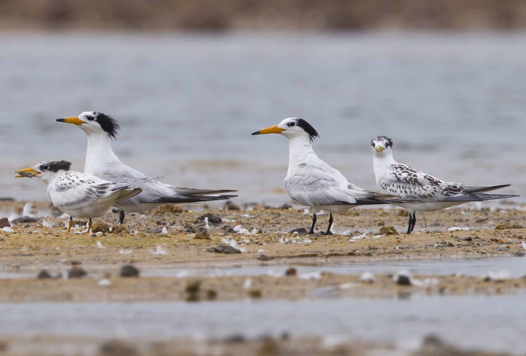
As outlined in the Blueprint on Coastal Wetlands, China’s coast provides essential stopover sites for millions of migratory waterbirds along the East Asian-Australasian Flyway. Many of these waterbirds breed in the Arctic and spend the non-breeding season in Australasia, with China’s coast as their only stop. However, our understanding of coastal waterbirds and their habitats in China remains partial and fragmented, caused by a lack of systematic data. To address this issue, with the support from the Lao Niu Foundation, the Paulson Institute and the Institute of Geographic Sciences and Natural Resources Research (IGSNRR) of the Chinese Academy of Sciences launched the “Development of Waterbirds and Habitats Database of China’s Coasts Project” in June 2018.
The purpose of the “Development of Waterbirds and Habitats Database of China’s Coasts Project” is to establish a comprehensive database of China’s waterbirds and their habitats, and to develop a mobile-based APP and a website for gathering and sharing this information. Using the data collected, and with the support of spatial simulation technologies of GIS, the project will assess the changes of coastal waterbird migration in China and the trends of their stress factors, identify Important Bird Areas (IBA) and evaluate the quality of the 107 coastal waterbird habitats identified by the Blueprint on Coastal Wetlands. It will also set up a platform for the capture and sharing of data relating to China’s birds and their habitats, helping to inform policy decisions.
Open Full Project Details
Key activities:
Develop standards for China’s Important Bird Areas (IBAs)
So far, 151 Chinese coastal IBAs have been identified as a result of this project.
Establish the China Waterbirds & Habitats Database
The China Waterbirds & Habitats Database (China Database) has three platforms: a website, a mobile APP, and a WeChat-based waterbirds photo identification program. This database will support research teams focusing on waterbirds and habitats conservation and provide data upload and download services for birdwatching, real-time sharing of birdwatching data, and provide a platform for personal birdwatching record management. Also, it will provide an interface for the public to understand wetlands and waterbirds protection and mobilize the public to support the protection of wetlands and waterbirds.
Provide support to researchers and decision-makers
The project will publish an assessment of the dynamics of coastal waterbirds and habitat changes in China over the past two decades. It will also provide systematic data support for member organizations of China Coastal Wetland Conservation Network, wetland conservation units at provincial and municipal levels and academic researchers, as well as for government authorities with responsibility for the conservation of coastal waterbirds and their habitats.
Develop international cooperation
Given the similarities in functionality, the project team will work closely and collaborate with the US-based eBird Project at Cornell University to promote data sharing and improve complementarity between the two systems.
Open Full Project Details